
Maps
Below are maps which show traditional territories or reservation boundaries.
Handbook of North American Indians. V.7: Northwest Coast
Edited by Wayne Suttles. Washington: Smithsonian Institution, 1990.
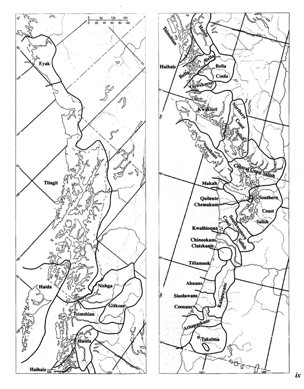
Southern Coast Salish Territories
"Plateau: Key to Tribal Territories"
Handbook of North American Indians. V.12: Plateau
Edited by Deward W. Walker, Jr. Washington: Smithsonian Institution, 1998.
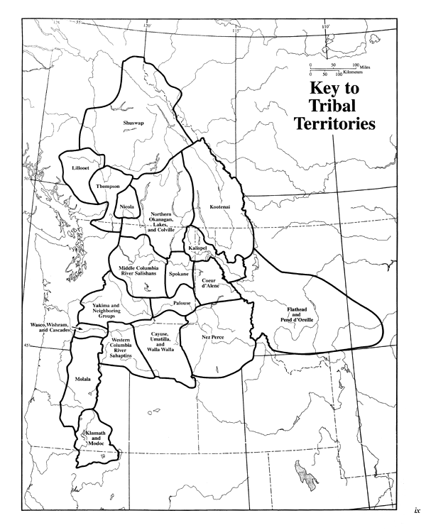
Plateau: Key to Tribal Territories
"The Nez Perce Homeland and Their Neighbors"
Nez Perce Coyote Tales: The Myth Cycle.
By Deward W. Walker, Jr. Norman: University of Oklahoma Press, 1998, p.6.

The Myth Cycle
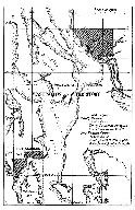
Northwest portion of "Map showing Indian Reservations within the limits of the United States compiled under the direction of the Hon. T. J. Morgan, Commissioner of Indian Affairs." U.S. Census Office. 11th Census. 1890, V.10 follows page 34, 1890 Census.
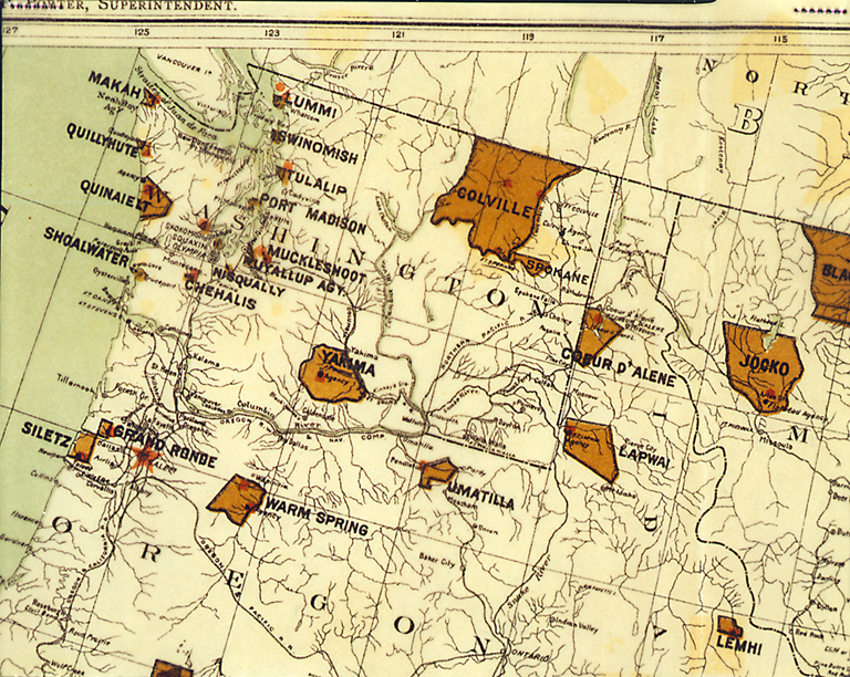
Indian Reservations in the Northwest
Contemporary Indian Reservations of Northwest Coast and Plateau Cultural Groups
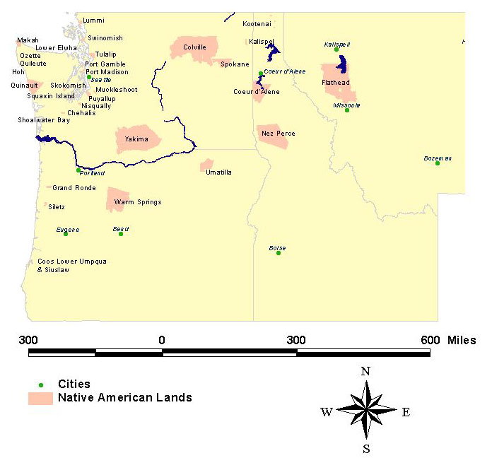
Contemporary Reservations
Southeast Alaska Native Territories

Southeast Alaska Native Territories
The following maps were scanned from the 1879 volume of the U.S. Office of Indian Affairs. Annual report of the Commissioner of Indian Affairs to the Secretary of the Interior:
 Grand Ronde Reserve, Oregon
 Lummi Reserve/Swinomish Reserve
 Nisqually Agency; Nisqually and Chehalis Reserves
 Puyallup Reserve/Muckleshoot Reserve
 Shoalwater Reserve
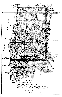 Siletz Reserve, Oregon
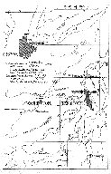 Skokomish Reserve/Squaxin Island Reserve
 Tulalip Reserve/Port Madison Reserve